
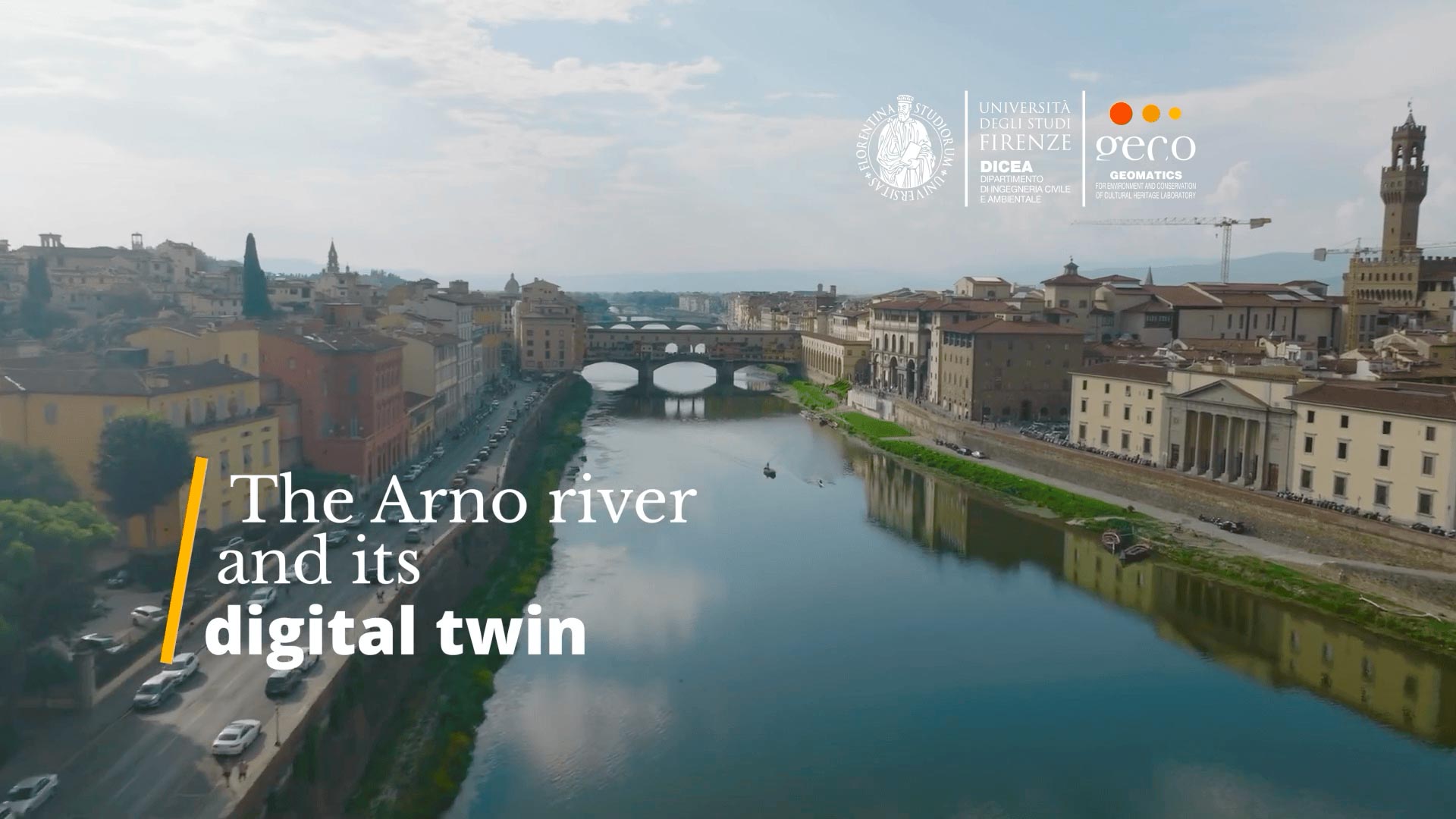
The development of the Urban Digital Twin for Florence’s historic centre
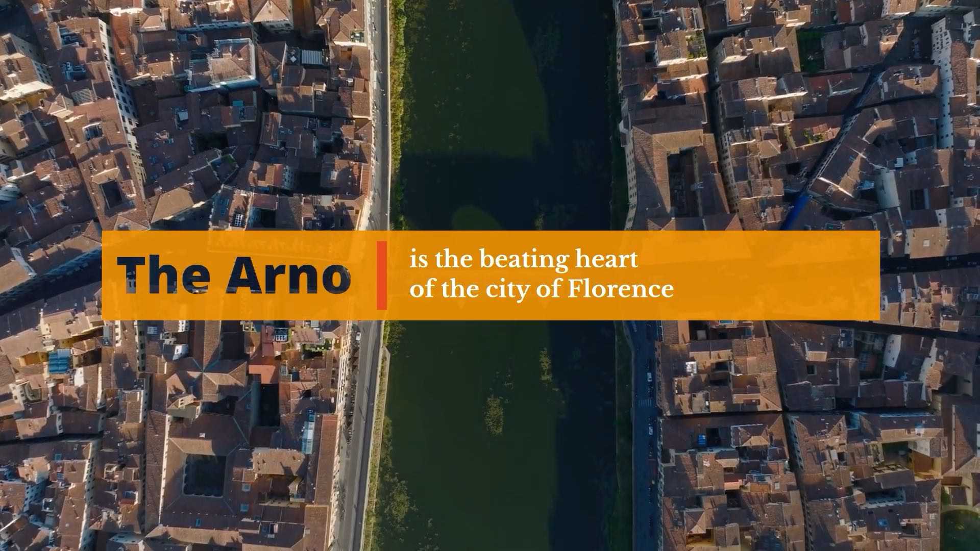
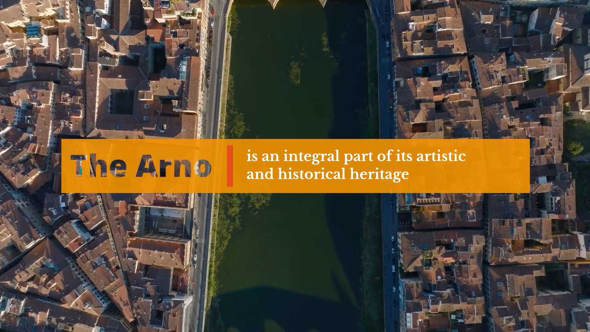
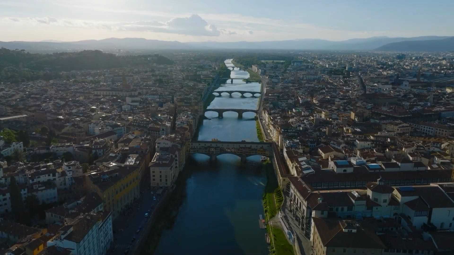
The historic centre of Florence, crossed by the River Arno and nestled within its surrounding landscape, has remained virtually unchanged over the centuries, earning its designation as a UNESCO World Heritage Site as early as 1982. The deep awareness of the close connection between landscape and architecture, between the river and the city, combined with the preservation of traditional materials and building techniques, has made it possible to safeguard essential values such as integrity and authenticity.
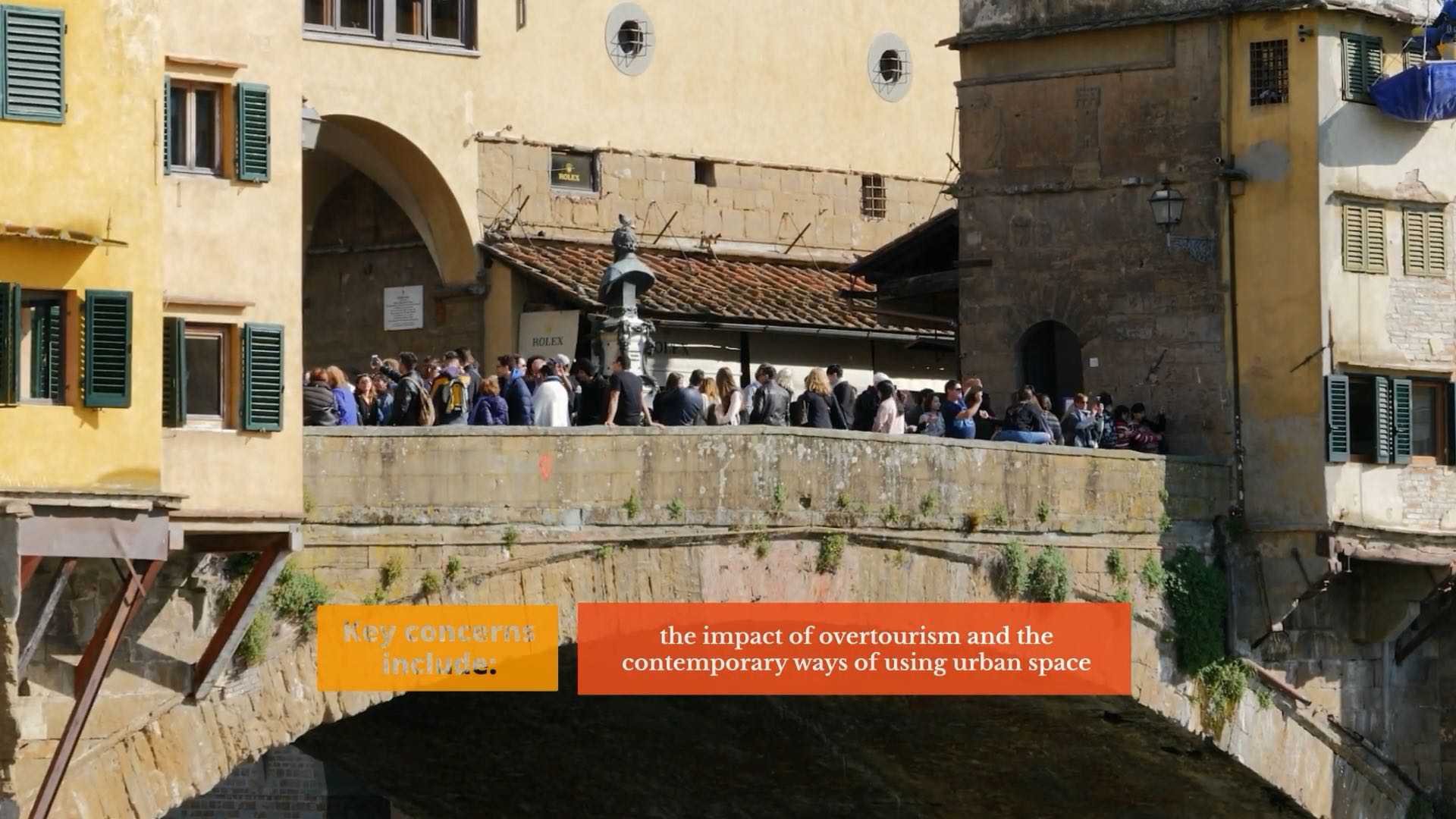
In recent years, however, the increasing frequency of extreme weather events, the rapid deterioration of materials and infrastructure, and the growing impact of mass tourism have highlighted the urgent need for advanced systems for monitoring and managing urban environmental risks. Within this context, the concept of the digital twin is emerging as an innovative technological solution: a dynamic, updatable digital model capable of accurately replicating a physical environment, enabling real-time monitoring, predictive analyses, and long-term risk mitigation strategies.

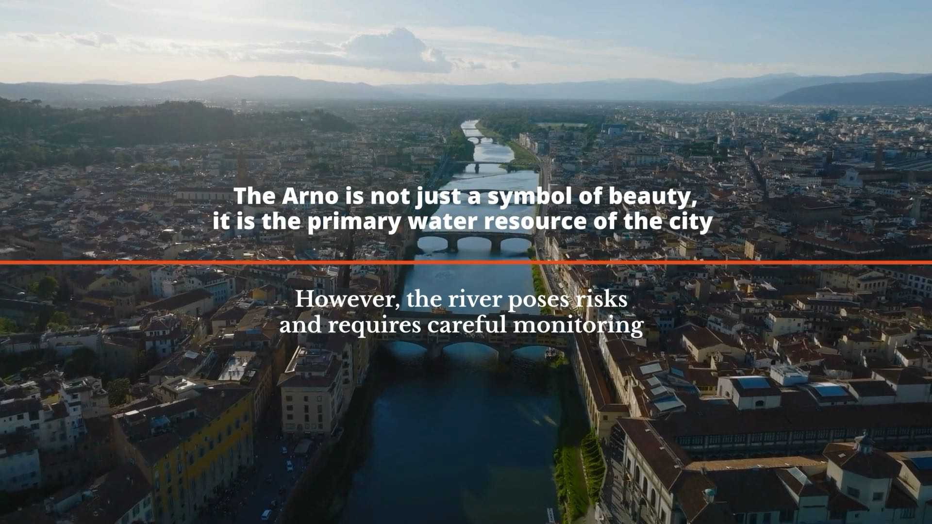

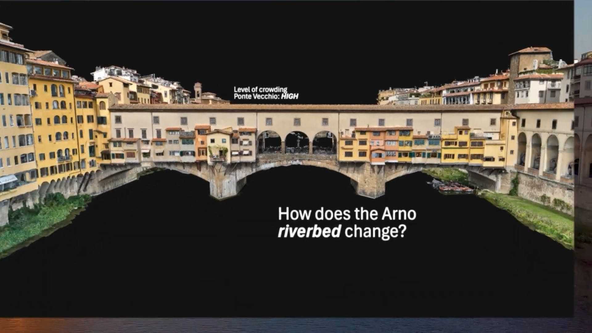
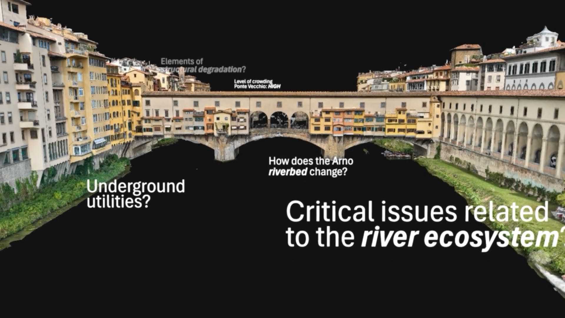
Numerous studies underline the need for a multidisciplinary approach to the management of water resources and historic heritage. Urban Digital Twins (UDTs), in this regard, provide advanced tools for predictive analysis and integrated assessments of both hydraulic and structural risks. The Florence UDT is conceived as a multi-risk platform designed to support urban conservation strategies and the mitigation of hydrogeological hazards.
Effective monitoring of historic heritage requires the collection of detailed data at multiple scales: at the building level (including typologies and structural characteristics) and at the urban and environmental scale (including climate, temperature, humidity, and groundwater levels).


The quality and consistency of thematic data are essential. It is necessary to assign unique identifiers to buildings (e.g., names, cadastral information) and to classify architectural typologies using standardised vocabularies suitable for cultural heritage cataloguing.
An additional objective of the Florence UDT involves the management of urban elements such as street numbering, signage, façade conditions, and the state of road surfaces. These applications require reliable, clearly structured, and easily updatable information.

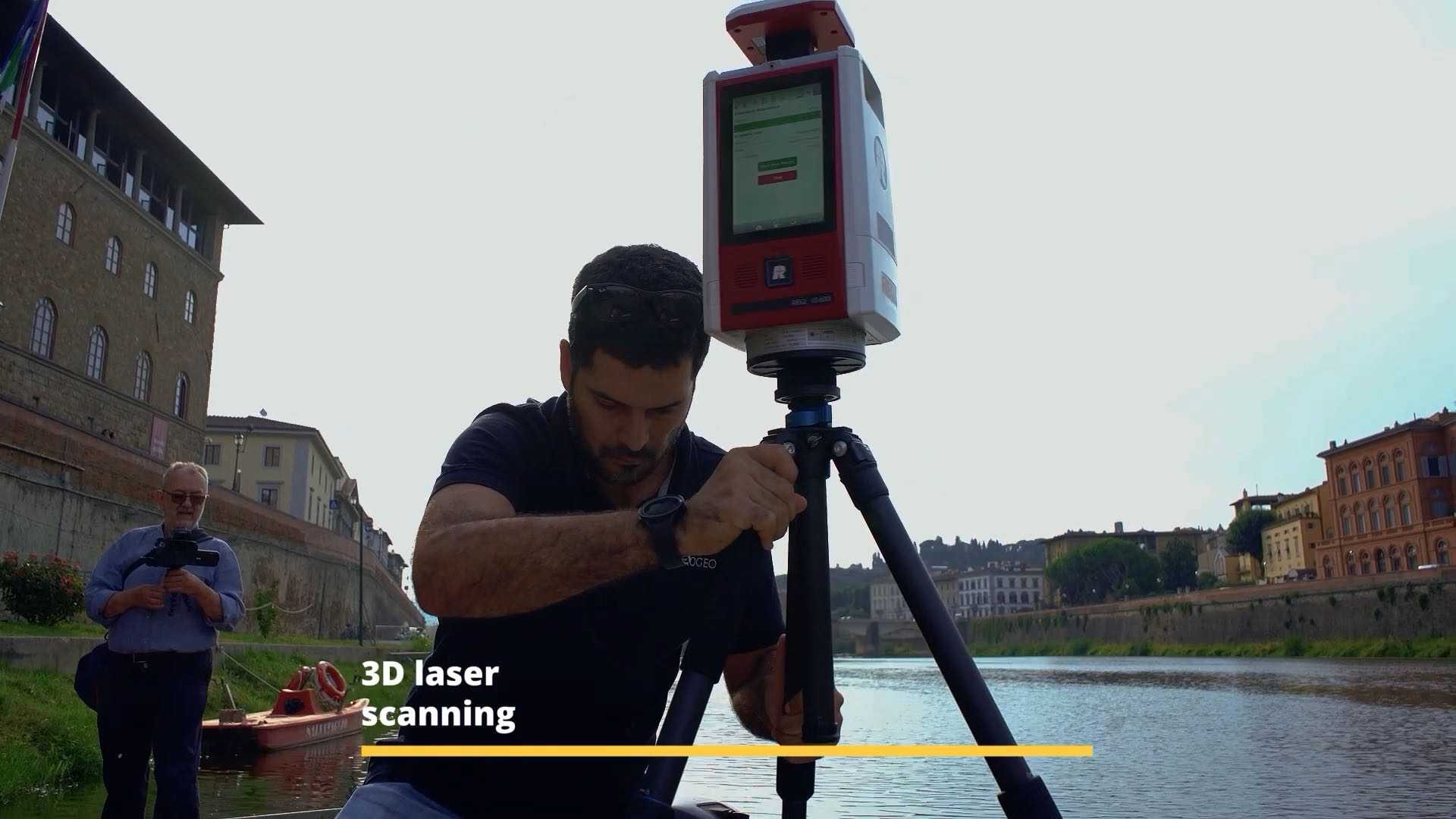
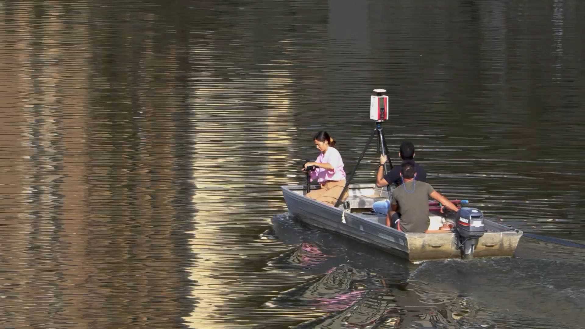
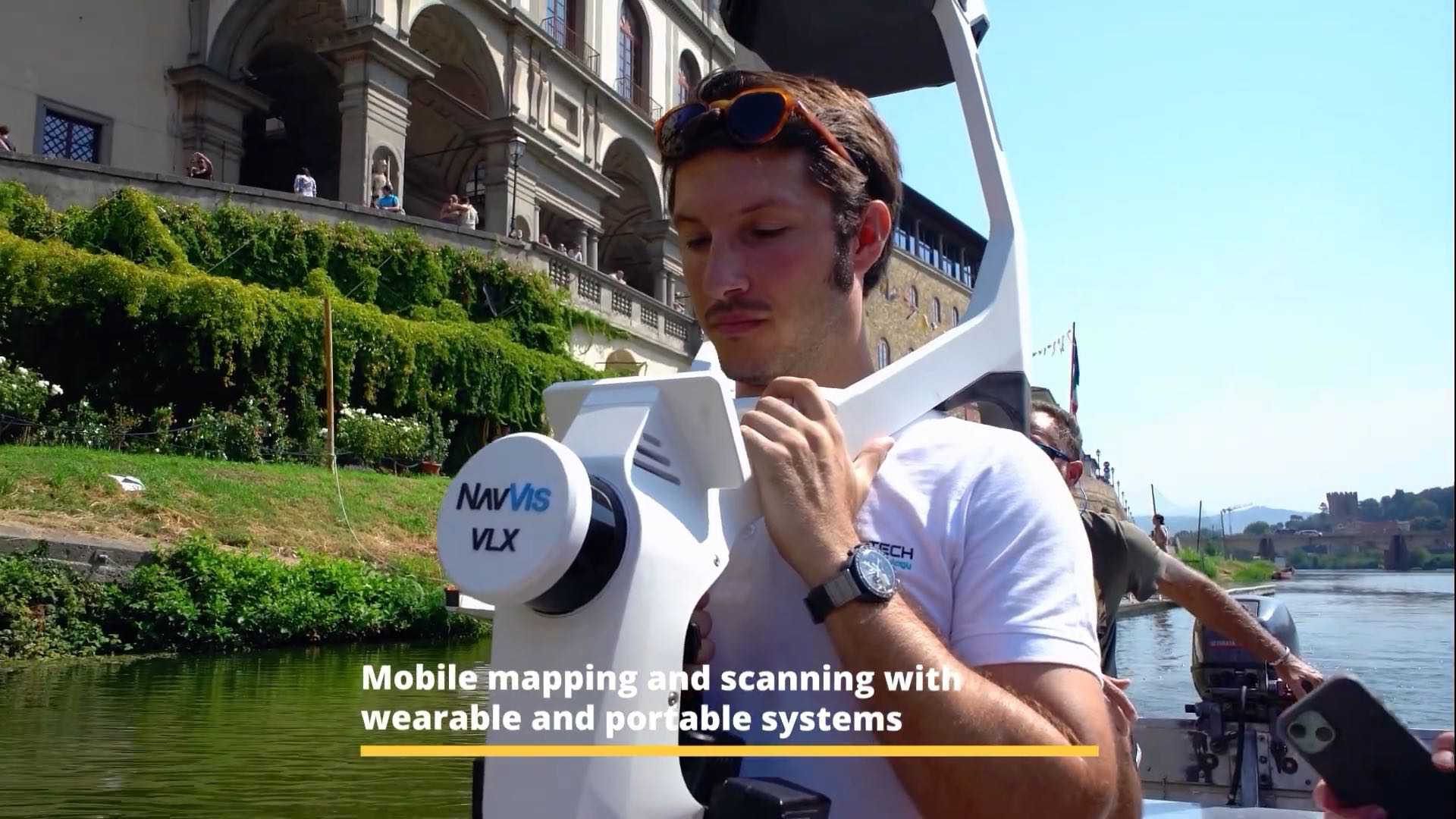
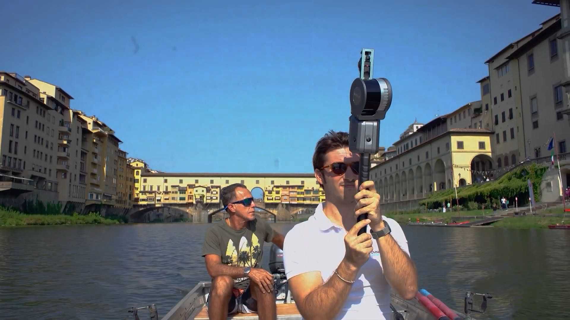
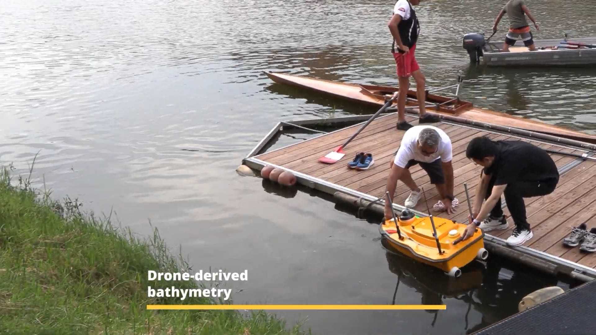

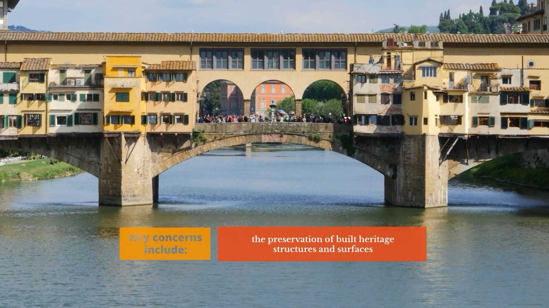
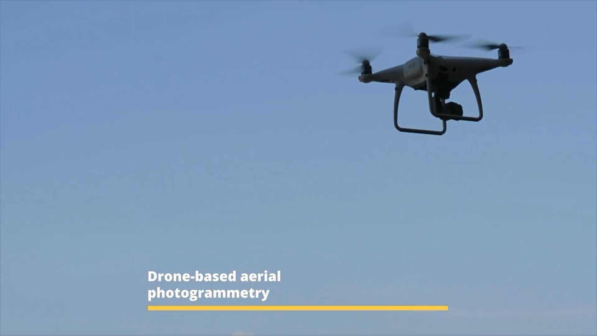
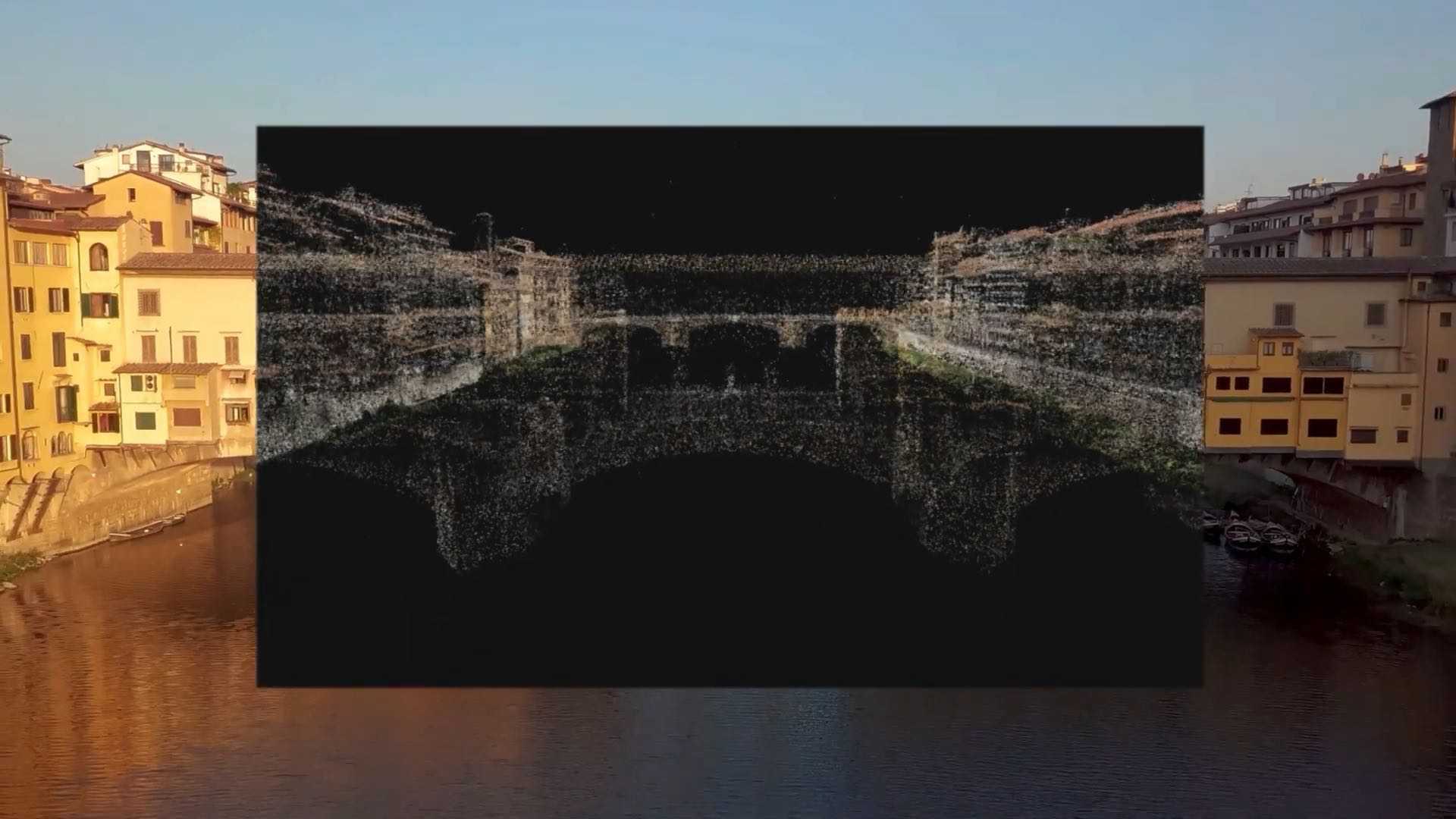
Data acquisition was carried out using Mobile Mapping Systems (MMS) and drone-based photogrammetry, ensuring extensive spatial coverage and high-resolution outputs, particularly along the riverbanks and streets of the historic centre. However, in narrower streets—common in historic city centres—the quality of data relating to upper building sections is reduced. While the point cloud enables the identification and classification of façade materials (such as plaster, pietra forte, or rusticated stonework), data density sometimes falls short of allowing a detailed analysis of the conservation state, such as detecting plaster detachment.


The modular structure of the UDT, combined with robust data management, offers a flexible tool for urban planning. By integrating diverse sources and analytical scales, it enables the assessment of vulnerabilities and the development of more accurate risk scenarios, supporting targeted and sustainable interventions.